Doi Inthanon tops out at 2,565 meters, the highest point in Thailand, and the area became a national park in 1972. Three nature trails cover the hiking most visitors come for: a ridgeline walk with sea-of-clouds views, a waterfall-and-rice-terrace route through a Karen village, and a short boardwalk loop near the summit. None of them reach the actual top — that's a paved road, not a trail.
Picking between them, or stacking two into one day, comes down to time, fitness, and whether you want a hired guide or want to walk solo. Here's how the numbers, costs, and seasons actually break down.
Doi Inthanon Hikes at a Glance
The three trails sit in different corners of the park and don't connect on foot, so factor in driving time between them. Kew Mae Pan and Pha Dok Siew both require a hired local guide; Ang Ka is the only one you can walk on your own. Here's how they stack up side by side.
| Trail | Distance | Time Needed | Difficulty | Guide Required | Best For |
|---|---|---|---|---|---|
| Kew Mae Pan | ~2.5-4 km loop | 2-3 hours | Moderate, exposed ridge | Yes, ~200-220 THB/group | Sunrise, sea of clouds |
| Pha Dok Siew | ~2.6-4 km one-way | 3-5 hours to village | Moderate, forest incline | Yes, ~200-220 THB/group | Waterfall, rice terraces, village coffee |
| Ang Ka | 360 m loop | 15-20 minutes | Easy, flat boardwalk | No | Quick add-on near the summit |
Trailheads run 10 to 40 minutes apart by car along the summit road, and there's no shuttle linking them. Bring your own wheels or book a guided hiking tour that handles the driving for you.
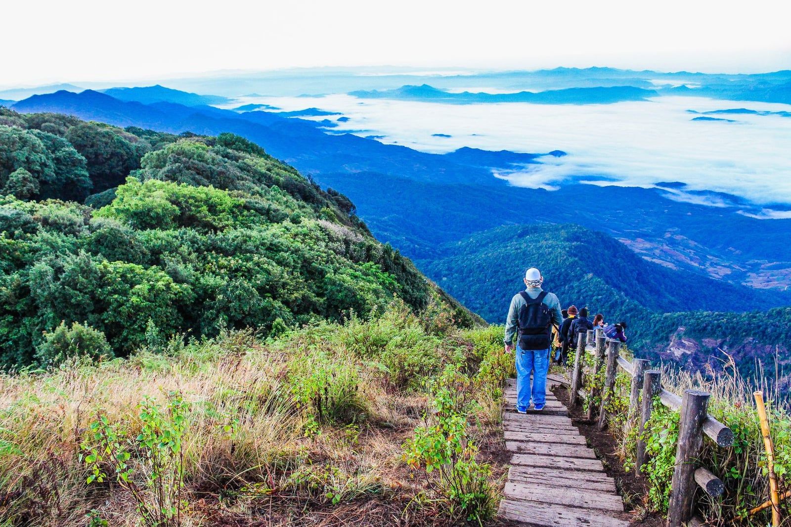
Kew Mae Pan Nature Trail: The Ridgeline Classic
Kew Mae Pan is the hike people mean when they say Doi Inthanon hike. The path opens from a pine-forest boardwalk onto an exposed ridge of grassland and dwarf rhododendrons, with drop-offs on both sides and, on a clear cool-season morning, a sea of cloud filling the valley below. Distance estimates vary by source — some list a tight 2.5 km loop, others closer to 4 km — but plan on 2 to 3 hours at a relaxed pace with photo stops.
A Hmong guide from the nearby village is compulsory, hired at the trailhead for about 200-220 baht per group, not per person. The trail closes every year from around June through October so the fragile ridge vegetation can recover, reopening November 1. Keep an eye out for the Chinese goral, a stocky mountain goat rarely seen but occasionally spotted on the rockier stretches, along with a good number of high-altitude birds. Go early — a sunrise tour gets you on the ridge before the cloud sea burns off, usually by mid-morning.
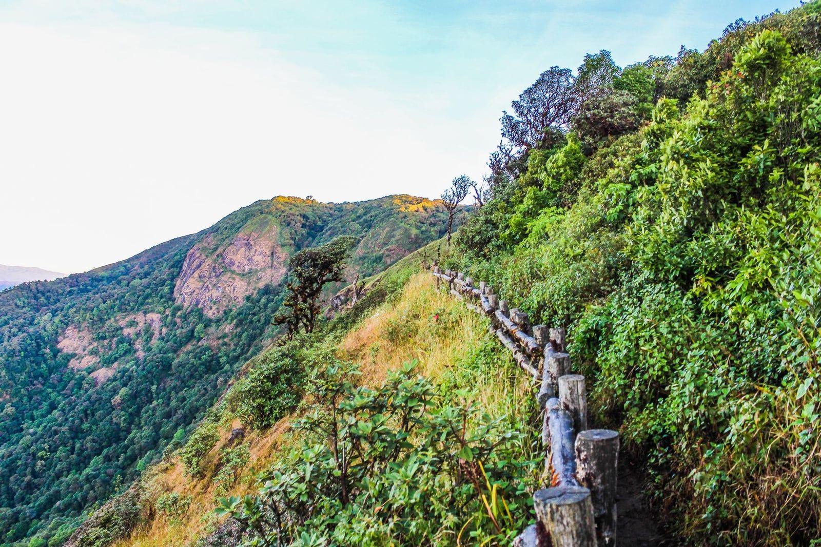
Pha Dok Siew Nature Trail: Waterfalls, Rice Terraces & a Karen Village
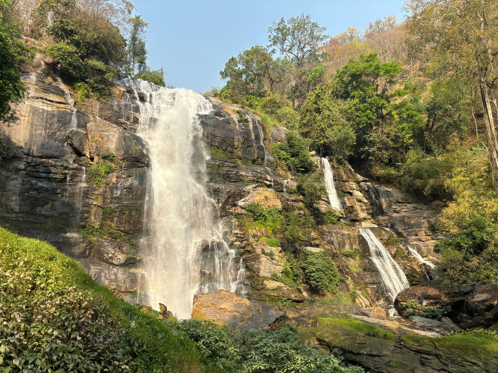
Pha Dok Siew trades ridge views for forest, water, and terraced rice. The path drops through mixed forest, crosses a few bamboo bridges, and passes Pha Dok Siew waterfall roughly halfway along before opening onto rice terraces worked by the Karen community of Mae Klang Luang. Reported distances range from about 2.6 km to 4 km one-way depending on the source, and walking the full route to the village takes 3 to 5 hours including stops.
You don't have to do the whole thing — turn back at the waterfall for a shorter out-and-back if time's tight. A Karen guide is required, same 200-220 baht group rate as Kew Mae Pan, but the trail stays open most of the year and only closes during heavy rain. It suits anyone who wants a slower, more immersive walk rather than a summit-style view. It ends at Mae Klang Luang, where villagers grow and roast their own coffee — a fair reward after a few hours on foot. For the falls beyond this trail, see our guide to all seven Doi Inthanon waterfalls.
Ang Ka Nature Trail: The Easy Boardwalk Near the Summit
Ang Ka Luang is the easiest trail in the park by a wide margin: a 360-meter boardwalk loop through mossy, high-altitude cloud forest near the summit car park. It's flat, well-signed, and the only trail at Doi Inthanon you're allowed to walk without hiring a guide.
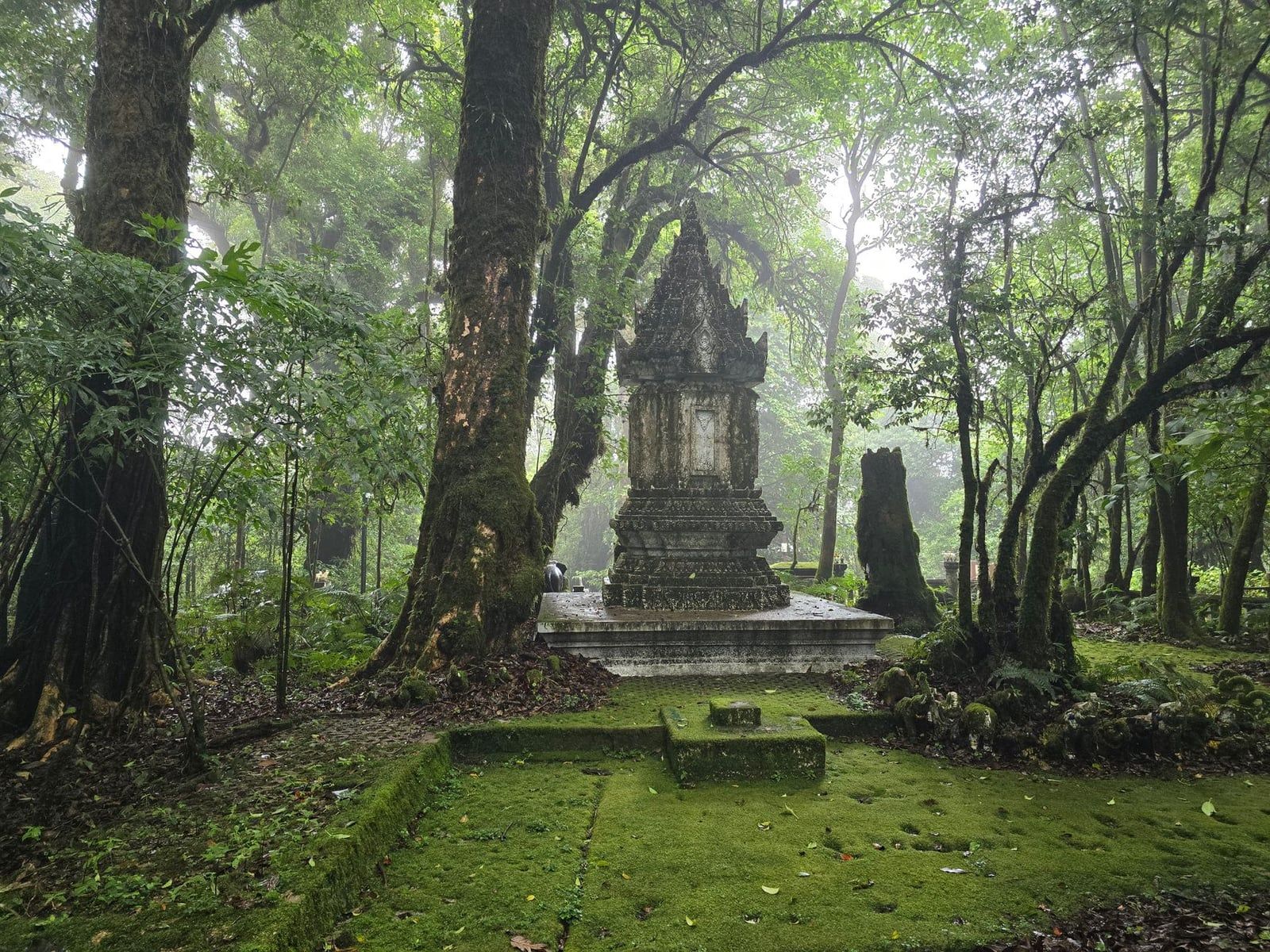
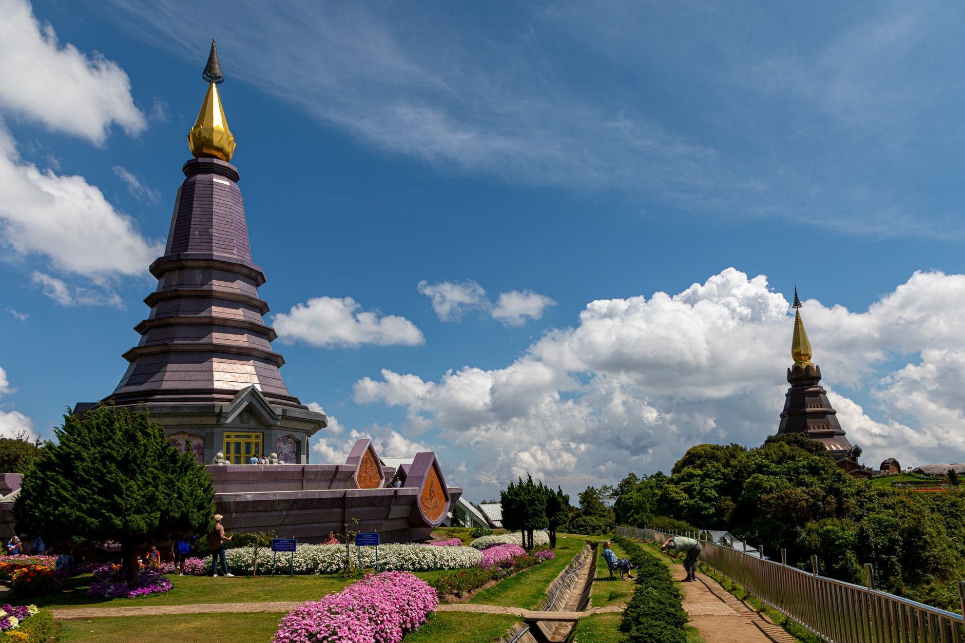
It's not a destination on its own — 15 to 20 minutes covers the loop — but it's an easy add-on if you're already at the summit for the Twin Pagodas or driving up after Kew Mae Pan. The cloud forest here stays damp and cool year-round, thick with moss, ferns, and stunted trees shaped by the wind. Pair it with Kew Mae Pan for a half-day covering the park's toughest walk and its easiest one back to back.
Guides, Fees & Rules You Need to Know
Entrance costs 300 baht for foreign adults and 150 baht for foreign children aged 3-14; Thai nationals pay 60 and 30 baht. Add 20-30 baht for a vehicle. The ticket is valid for five days, so a multi-day visit doesn't mean paying twice. Full details sit on the park's opening hours and entry fees page.
On top of that, guides for Kew Mae Pan and Pha Dok Siew run about 200-220 baht per group, hired on the spot at each trailhead — bring cash, since neither trailhead takes cards. The requirement isn't red tape for its own sake: guides are local Hmong or Karen residents, and the fee is direct income for villages inside the park boundary, while keeping hikers off sensitive, unmarked ground. Ang Ka needs no guide and costs nothing beyond the entrance fee.
A realistic two-trail day, say Kew Mae Pan plus Ang Ka, runs about 500-520 baht per foreign adult: 300 for entrance, 200-220 for the one guided trail. The visitor center runs 8am to 4pm daily, though the park gates themselves operate earlier and later, roughly 5:30am to 6:30pm — early enough for a genuine sunrise start.
Best Time to Hike Doi Inthanon
November through February is the window nearly everyone recommends: cool, dry, and the clearest visibility of the year, with morning temperatures at elevation sometimes dropping near freezing — unusual for Thailand and worth packing for. It's also the only season Kew Mae Pan is open, and the sea-of-clouds effect is most reliable at dawn.
Late January into early February brings a bonus: wild Siamese sakura, a native Himalayan cherry, blooms briefly across parts of the park. March and April are burning season across northern Thailand, when smoke haze can blur ridge views for weeks — not the window for a hike built around visibility. June through October is the rainy season and the reason Kew Mae Pan shuts its gates; Pha Dok Siew and Ang Ka stay open, but expect mud on the forest sections.
Whichever month you go, hike early. Trails fill up by late morning, temperatures climb, and cloud cover often rolls in by early afternoon. An early alarm is worth it for clear views and a quiet trail before the tour groups arrive.
Planning Your Hike Day: Getting There & Combining Trails
The park entrance sits roughly 70 km southwest of Chiang Mai, about 2 to 2.5 hours by car. Full route options are on our directions page, but the short version is this: self-drive, hire a private driver, or book a tour. Public transport doesn't reach the trailheads and isn't practical for a hiking day.
Once inside, there's no shuttle between trailheads, so whoever's driving needs to stay with you or meet you at each stop. That rules out a solo public-transit day and makes a private driver or organized tour the easiest way to combine trails. A popular combo: Kew Mae Pan at first light, then a short drive up to the summit car park for Ang Ka and the Twin Pagodas, wrapping by early afternoon. Pha Dok Siew, given its length and pace, works better as its own half-day rather than bolted onto the others.
Group and private options both run daily from Chiang Mai, with private itineraries giving more flexibility on start time — worth it if you want to beat the crowds to Kew Mae Pan at first light. Staying overnight near Chom Thong or Mae Klang Luang village cuts the drive time on hiking day and makes a genuine sunrise start far less painful than leaving Chiang Mai at 4am.
Other Trails & Multi-Day Trekking Options
The big three aren't the whole story. Roughly a dozen other, far less documented trails thread through the park, mostly used by repeat visitors who've already done Kew Mae Pan and want something quieter. Details on these are thin and guides aren't always set up for casual walk-ins, so they suit travelers arranging something specific through a local operator rather than showing up at the gate and asking.
For a deeper trip, local trekking outfitters arrange multi-day treks to a rarely-visited Karen village inside the park boundary, combining overnight stays with longer walks than any single day-hike trail offers. It's a niche option, but a good one if you've already covered the main trails and want more solitude or direct time in a hill-tribe community. A private tour arranged in advance is the way to sort this out — it's not something you book at the park gate.
Practical Tips: What to Pack & Trail Etiquette
Pack for cool-season mornings even if Chiang Mai feels warm: temperatures at elevation can approach freezing, so a proper layer matters more than it sounds like it should. Sturdy shoes with real grip handle the boardwalks and the odd muddy stretch better than sneakers. There are no ATMs inside the park, so carry enough cash for guide fees, entrance, and snacks.
- Warm layer or jacket, even in the dry season
- Sturdy shoes with grip for boardwalks and mud
- Cash — no ATMs inside the park
- Water, snacks, and insect repellent
Drones are banned outright at Kew Mae Pan and Ang Ka because of restricted airspace near the summit; Pha Dok Siew allows them only with a permit arranged in advance, and it's rarely worth the hassle for a forest trail with limited open sky. For photos without a drone, sunrise suits Kew Mae Pan for the cloud sea, while Pha Dok Siew's rice terraces catch better light in the late afternoon. On the trail: stay on the marked path, don't step into planted fields for a photo, and ask before pointing a camera at your guide or anyone in the village. It's their home, not a backdrop.
Frequently asked questions
Do you need a guide to hike in Doi Inthanon?
Yes for Kew Mae Pan and Pha Dok Siew — a compulsory local guide costs about 200-220 baht per group and is hired right at the trailhead. Ang Ka is the only trail you can walk without one.
How long does the Kew Mae Pan trail take?
Around 2 to 3 hours for a loop reported anywhere from about 2.5 to 4 km depending on the source, at a relaxed pace with photo stops.
When is Kew Mae Pan trail closed?
It closes annually from around June 1 to October 31 for forest recovery and reopens November 1. Pha Dok Siew and Ang Ka stay open year-round, weather permitting.
Can you hike to the summit of Doi Inthanon?
No. The 2,565-meter summit is reached by paved road, not trail. Nearby nature trails like Ang Ka pass close to it but don't summit it themselves.
How much does it cost to hike in Doi Inthanon?
Park entrance is 300 baht for foreign adults, valid five days, plus about 200-220 baht per group for a guide on each guided trail (Kew Mae Pan and Pha Dok Siew).
Can you do more than one hike in a day at Doi Inthanon?
Yes, with your own car or a private driver — Kew Mae Pan plus Ang Ka near the summit is a common combo. There's no public transport between trailheads, so self-drive, a private driver, or a tour is required.
Is Doi Inthanon hiking suitable for beginners?
Yes. All three main trails are easy to moderate, with boardwalks, stairs, and benches along the way, and none require technical hiking experience.
What should I pack for hiking Doi Inthanon?
Sturdy shoes, a warm layer for near-freezing cool-season mornings, cash (there are no ATMs in the park), water and snacks, and insect repellent.